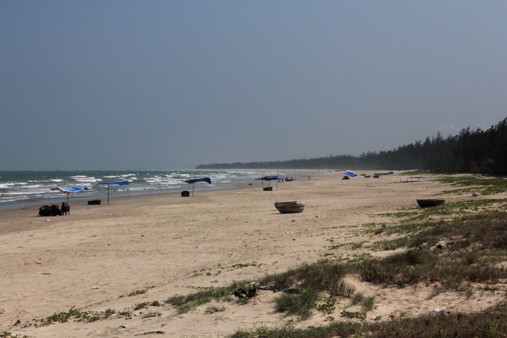
Up Ron & Marjolijn's holiday pictures » 2011-03 Vietnam » 07-Hoi An Prev Next Slideshow

 Previous image  Next image  Index page  Original Image [13-The beach.jpg - 932kB]
01-Harvesting the rice
02-Harvesting the rice
03-Woman in harvested rice field
04-Rice fields
05-Harvesting the rice
06-Harvested rice field
07-Rice spikes
08-Harvested rice field
09-Rice bags
10-Drying rice on the street
11-Deserted beach
12-This is the way they use mopeds for transport
  13-The beach.jpg - The beach  
14-Entrance memorial museum My Lai
15-Memorial monument
16-The story of My Lai
17-Bonsai trees
18-Marjolijn enjoying the sun
19-A lot of ducks, used to clean the rice fields
20-The boat that we sail on the river
21-Hoi An river side
22-Hoi An river side, a ferry
23-Oncoming transport
24-Marjolijn is steering the boat
25-Ron also tries

The beach Download Original Image
Latitude: N 15°11'21,64" | Longitude: E 108°53'40,12" | Altitude: 12 metres | City: My Lai | State/Province: Quang Nam | Country: Vietnam | Copyright: Ron Harkink | See map
Total images: 53 | Help